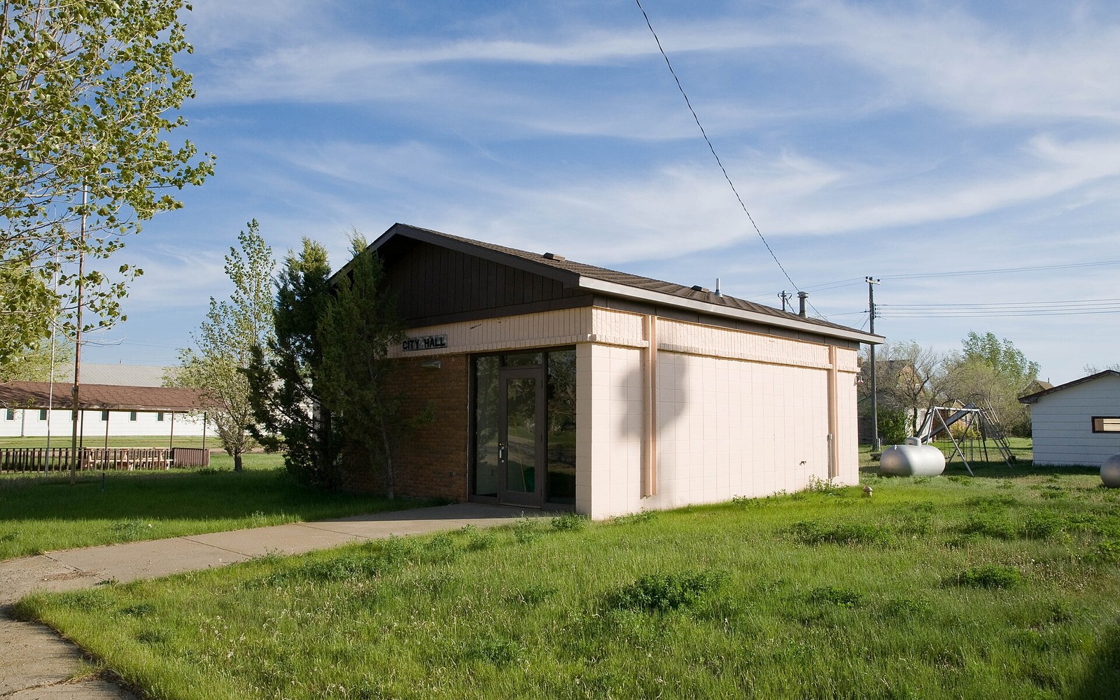
Alamo sits in the far northwest corner of Williams County, close enough to the Divide County line that it can feel more like flank ground than the county's busier core, even though Williams itself is a core Bakken county.
Williams County as a whole is one of the most heavily drilled parts of the Williston Basin, home to Williston, the region's largest city, and dense spacing units running throughout the county. Alamo sits toward the edge of that development, so a mineral interest there can be somewhat less certain to fall inside an active unit than one closer to the county's interior, though real activity has reached this part of the county as well.
Alamo's Edge-of-County Position
Because Alamo sits near the Williams-Divide county line, acreage here occupies a transitional position between Williams County's dense core development and the lighter flank activity typical of Divide County to the northwest. Checking current spacing unit filings against your specific legal description is the only way to know for certain where your tract falls.
What Ownership Near Alamo Typically Involves
Family mineral interests around Alamo generally trace to early-1900s homestead patents, split across generations the same way they have across most of rural Williams County. The Williams County Recorder's office in Williston holds the deed chain most owners need to confirm their current fraction.
What We Look at Before Making an Offer
For an edge-of-county tract like an Alamo-area interest, we check both current spacing unit filings and any nearby permit activity before putting together a number, since a tract just outside an active unit today can look very different in a year if operators keep extending westward.
Begin with the local record trail
A local mineral review starts with the recording office, legal description, deed chain, reservations, lease, units, division orders, payor records, statements, and state well data.
Route local questions correctly
Probate, marital property, dormant-mineral rules, pooling, recording, transfer, regulatory filings, and payor notices can differ from one county to the next. Qualified advisers should review those questions.
Keep the local review tract-specific
Use the local context as a prompt, not a valuation shortcut. Alamo sits in northwestern Williams County near the Divide County line. See what core-Bakken-edge acreage means for a family mineral interest there. The review desk then reconciles the exact tract against gross and net acres, ownership fraction, producing and inactive wells, paid decimal, recent statements, lease burdens, title exceptions, and the complete written offer. That comparison keeps a familiar town or county name from standing in for the record that actually controls price and closing.
North Dakota Owner Questions
Is Alamo, ND in the core Bakken or on the flank?
Williams County overall is core Bakken territory, but Alamo sits near the county's northwestern edge, closer to flank-style activity levels than the busier interior around Williston.
How do you check if your Alamo interest is inside an active spacing unit?
Compare your legal description to current North Dakota Industrial Commission spacing and well records, or send it to us and we'll check at no cost.
Where are Williams County mineral records kept?
The Williams County Recorder's office in Williston maintains deed, lease, and probate records for tracts throughout the county, including Alamo.
Is it worth selling an Alamo mineral interest that isn't currently in a unit?
It depends on nearby activity and your own preference for certainty versus potential future upside. We lay out both honestly once we've checked the record.
Has activity near Alamo increased or slowed in recent years?
Activity on the county's edge tends to track commodity prices and how far operators want to extend from busier ground, so it can shift year to year. Checking current filings gives a more reliable answer than general trend talk.