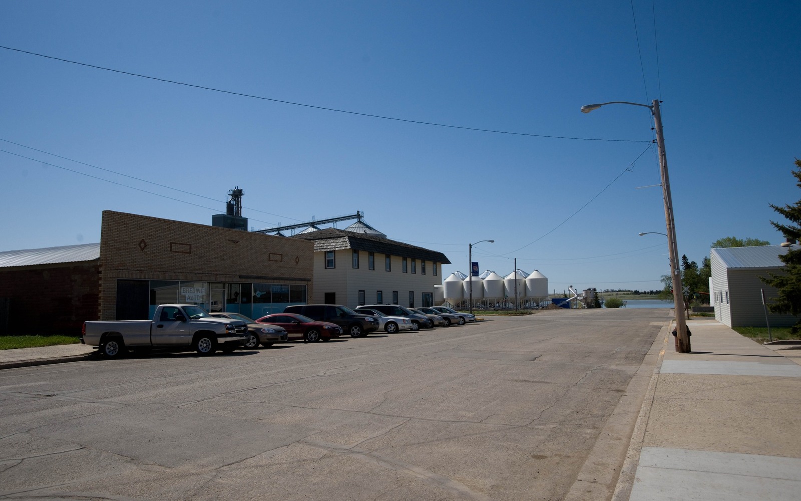
Powers Lake sits close to the Burke and Mountrail county line, which puts some families here right at the edge of genuinely productive Bakken ground even though the town itself doesn't get the attention Stanley or Parshall does.
Depending on exactly which section your mineral interest falls in, a Powers Lake-area tract can be closer to strong Mountrail County production than the Burke County label on your deed might suggest. That's one of the first things we check, because the county line on a map doesn't always tell you much about what's actually happening underground.
A tract that could sit on either side of the line
We've seen Powers Lake-area interests that turned out to be much closer to active Mountrail County drilling than the family realized, and others that sit in quieter Burke County ground with little recent activity. The only way to know which applies to you is to check the actual legal description against the state's well and permit records.
What we do before naming a number
We confirm your ownership through the appropriate county recorder, check nearby well activity in both directions, and review any lease or Division Order history you can send us. Only then do we tell you what we think your interest is worth.
Families holding ground on both sides of the line
It's not unusual for a Powers Lake family to hold mineral interests in both Burke and Mountrail County from ranch land that historically crossed the boundary. If that's your situation, we research both tracts separately since each falls under a different recorder's office and potentially very different well histories.
We'll give you one clear picture covering both, rather than leave you to piece it together from two sets of paperwork.
Begin with the local record trail
A local mineral review starts with the recording office, legal description, deed chain, reservations, lease, units, division orders, payor records, statements, and state well data.
Route local questions correctly
Probate, marital property, dormant-mineral rules, pooling, recording, transfer, regulatory filings, and payor notices can differ from one county to the next. Qualified advisers should review those questions.
Keep the local review tract-specific
Use the local context as a prompt, not a valuation shortcut. Own mineral rights near Powers Lake, ND on the Burke-Mountrail line? Get a straight, local look at what your interest is worth before you sell. The review desk then reconciles the exact tract against gross and net acres, ownership fraction, producing and inactive wells, paid decimal, recent statements, lease burdens, title exceptions, and the complete written offer. That comparison keeps a familiar town or county name from standing in for the record that actually controls price and closing.
North Dakota Owner Questions
Which county actually handles the records for our Powers Lake property?
It depends on the exact section; Powers Lake sits near the Burke-Mountrail line. Send us your legal description and we'll confirm which county recorder's office has your records.
Could our minerals be worth more than we think given the location?
Possibly. Some Powers Lake-area tracts sit close to strong Mountrail County production. We check your specific section before assuming either way.
We received a lease offer recently. Should we lease or sell?
It depends on your goals and the well's likely productivity. We're happy to explain both paths honestly so you can decide what fits your family's situation.
We think A western North Dakota family's ranch straddled the Burke-Mountrail line historically. Does that complicate things?
It just means we research two separate county records instead of one. We handle that directly and explain what each tract is worth.